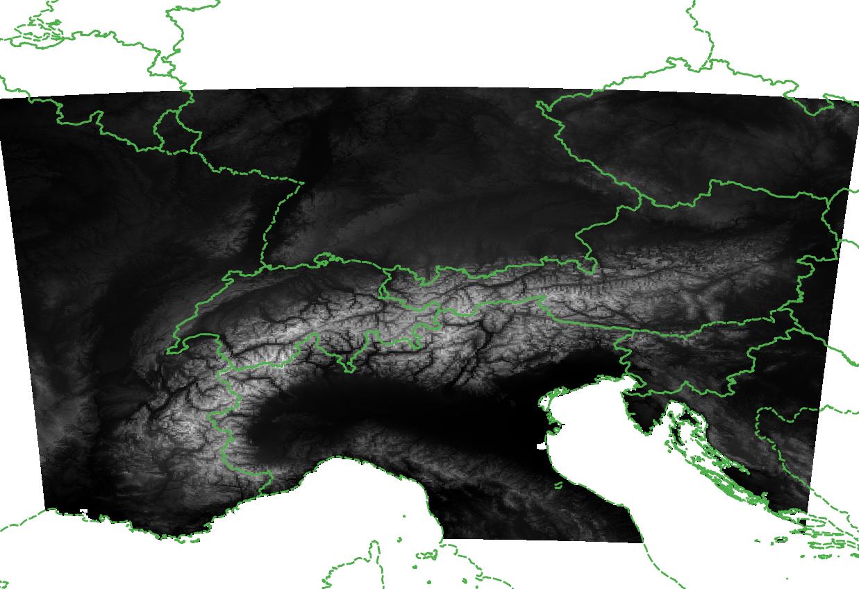
EU-DEM is a digital surface model (DSM) of EEA member and cooperating countries representing the first surface as illuminated by the sensors. It is a hybrid product based on SRTM and ASTER GDEM data fused by a weighted averaging approach.
collection, elevation, terraini, cct, SRTM / ASTER GDEM, Land use, Land cover
CC-BY-4.0
| Eurac Research - Institute for Earth Observation |
| bartolomeo.ventura@eurac.edu |
| Viale Druso, 1 / Drususallee 1, Eurac Research, Bolzano, Autonomous Province of Bolzano, 39100, Italy |


2024-06-06  2024-06-06
WGS-84 (3035:EPSG)
Grid
mapDigital
Imagery base maps earth cover
No docs sources are available.